Collections
U.S. Maps (English)

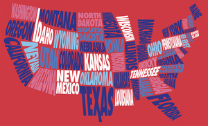
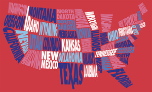
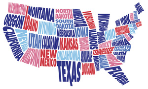
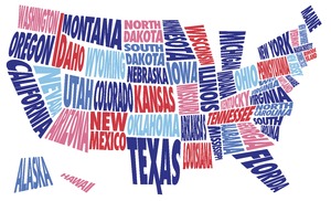
This selection of artistic maps of the U.S. come in a variety of color combinations centered around the red, white, and blue color palette. Each state is spelled out in its geographic location and give the maps a unique collage effect. These graphics may only be used for educational purposes and in or for the promotion of American Spaces. You may not use the graphics for commercial purposes. This means that you may not sell the graphics or sell materials, products or services that use and incorporate the imagery, nor may you use the graphics to promote or advertise products or services. When using these graphics for printed materials and social media, please credit Smithsonian Institution.
This collection contains: 7 images
Products inside this collection
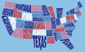
Blue U.S. Map (English)
Map of the United States with each state spelled out on light blue background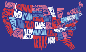
Dark Blue U.S. Map (English)
Map of the United States with each state spelled out on dark blue background